Leaving Grand Teton NP, seeing Wyoming
The next morning (after the hike) we left Grand Teton National Park as early as we could, which was around 7:00 AM. We knew we had a long day of driving ahead of us and as we learned the first night of this trip it's no fun pulling into a campground late at night.

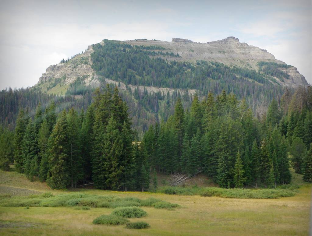
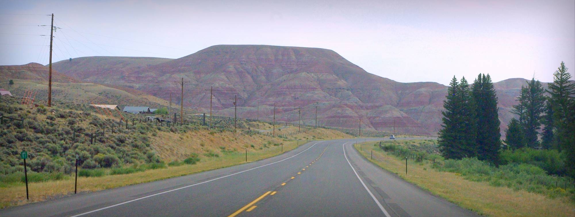
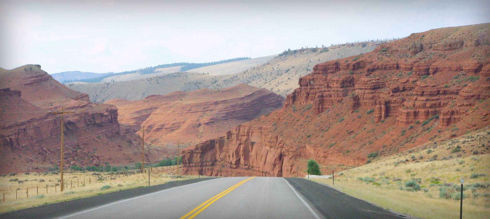
After an hour of driving or less, we started getting a taste of what central Wyoming has to offer, with wonderful views everywhere!
The mountains in the distance were nice but soon forgotten, as beautiful valleys started capturing our attention:

Sometimes we had to use the pullouts to let cars pass us on the long climbs up hills (the RV was not what you'd call a powerful machine), but often we just used them to view the beauty around us:
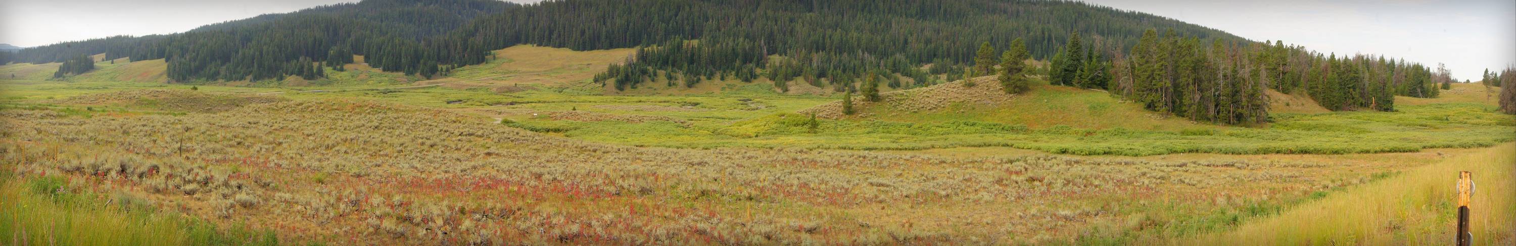
What color!
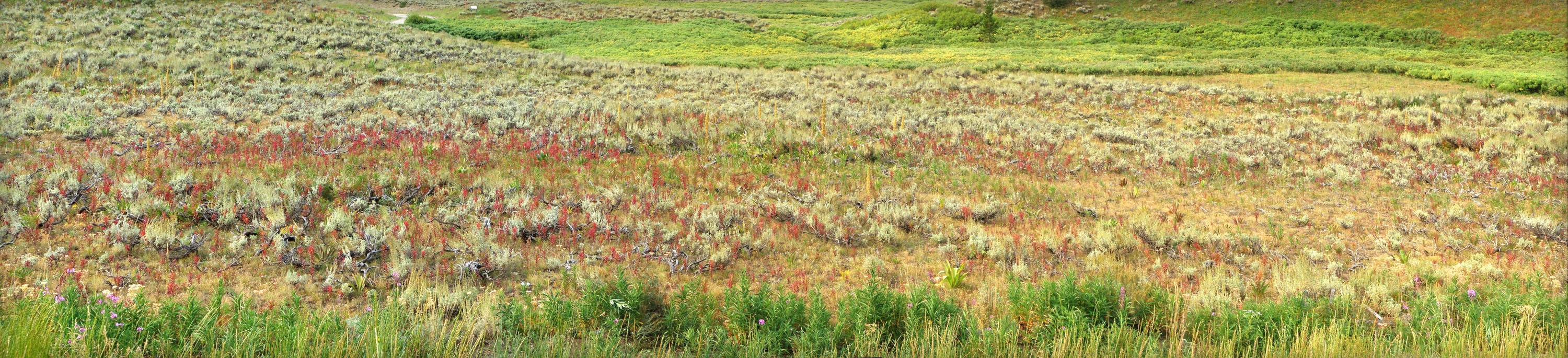
After a couple of pull-overs I realized that stopping every time we saw something that I wanted to photograph would ensure that we'd arrive at our destination well after dark. So I put my wife on camera duty, ignored her arguments of ineptitude and assured her that I could use most of the photos she took as long as she snapped at least three shots of everything. (Cropping and color correction would be key!)
I think she did a great job! (The image above and all of the remaining shots in this post were taken by her.)
Some of these photos have questionable colors, as it was often difficult to remove the tinting provided by the windshield, combined with switches between sunny and cloudy skies.
I'm presenting these in chronological order, but I have no way to indicate where they were taken -- we were driving from GTNP across the center of the state, up toward the northwest corner. There were several highways involved, and as far as I remember no major towns to use for reference (except Sundance), so use these images only as a sort of catalog of the types of rugged beauty that Wyoming offers.
(Note: many of these just worked better as wide shots. They weren't stitched together from multiple photos, but they're still higher-resolution than the other shots and are worth clicking on.)


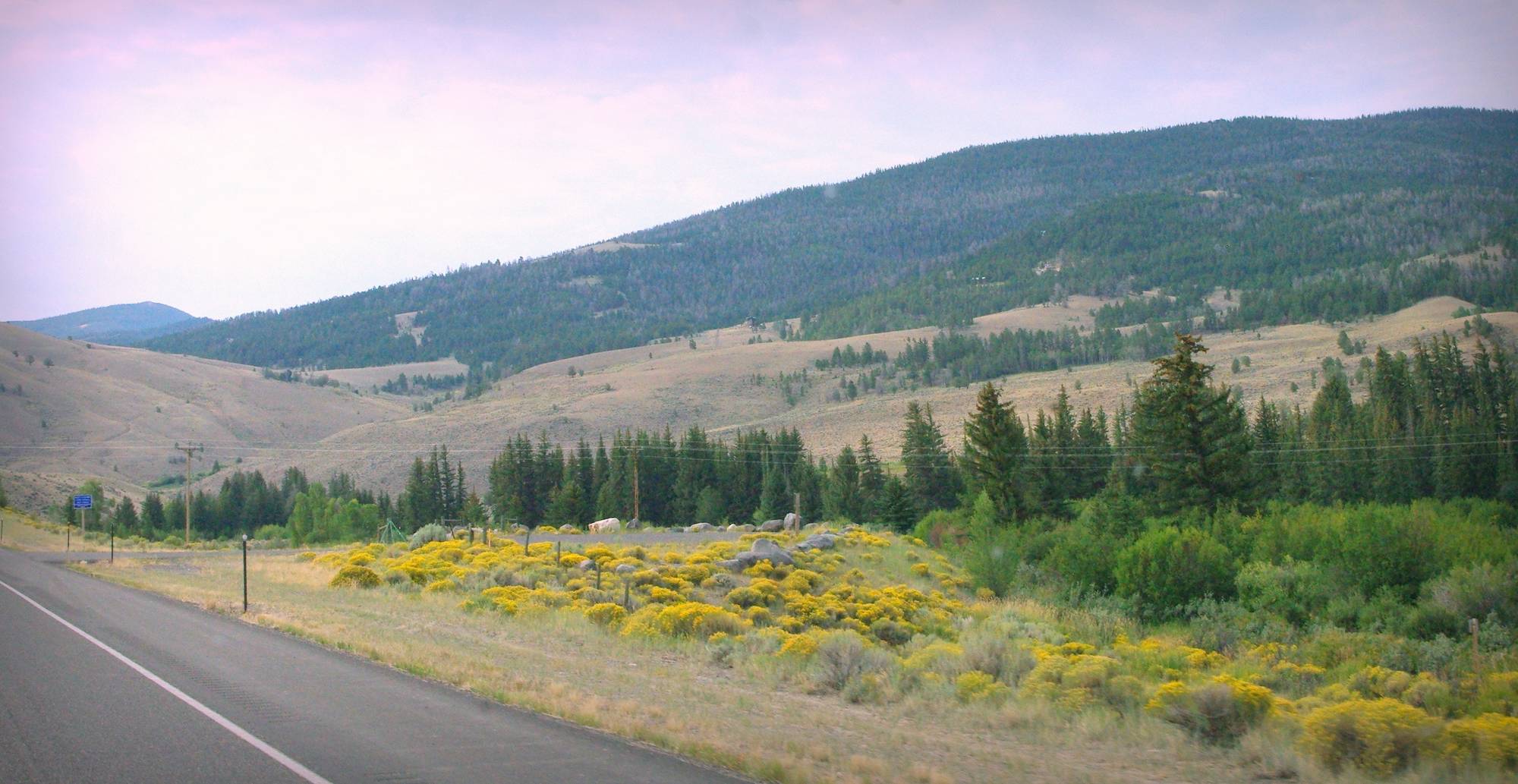
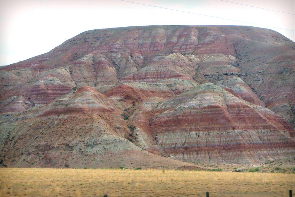
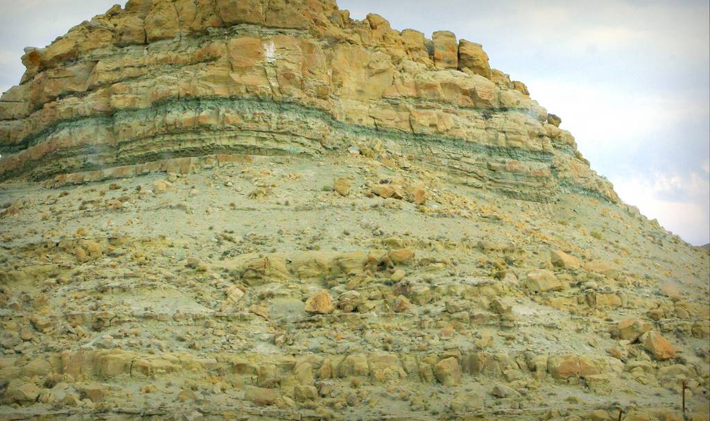
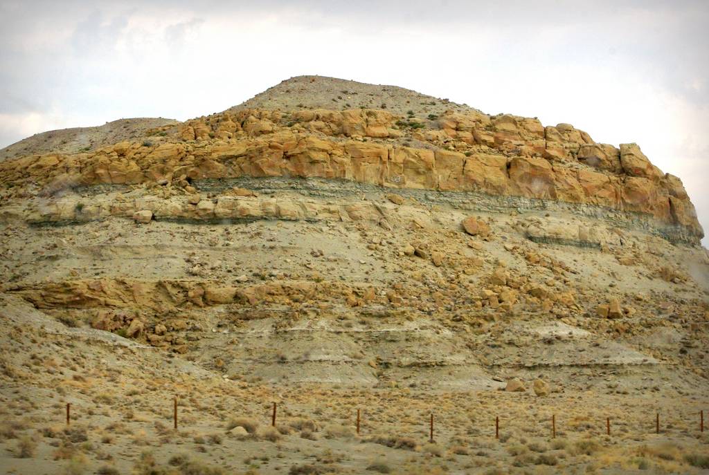
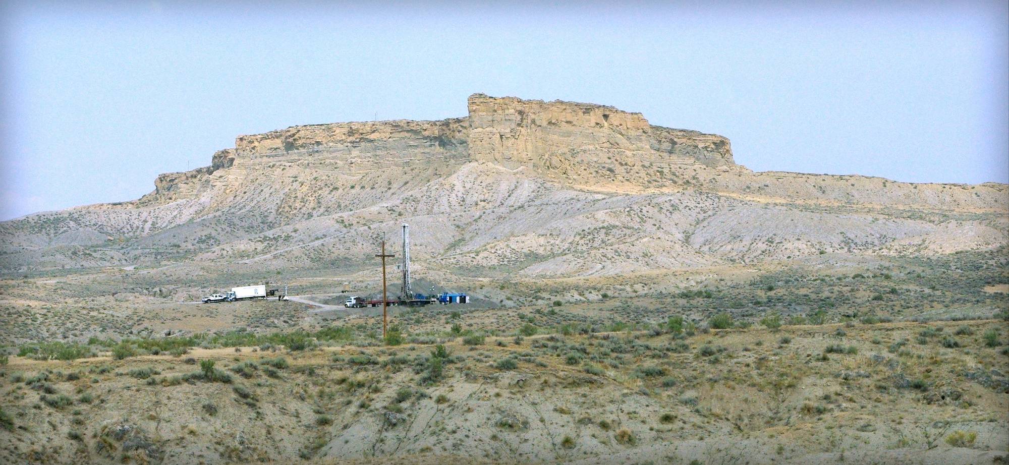
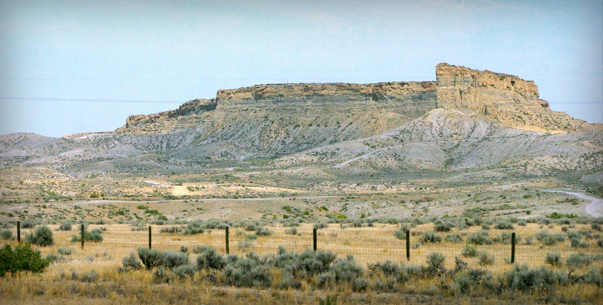
The forested hills and valleys soon gave way to colorful but desolate hills:
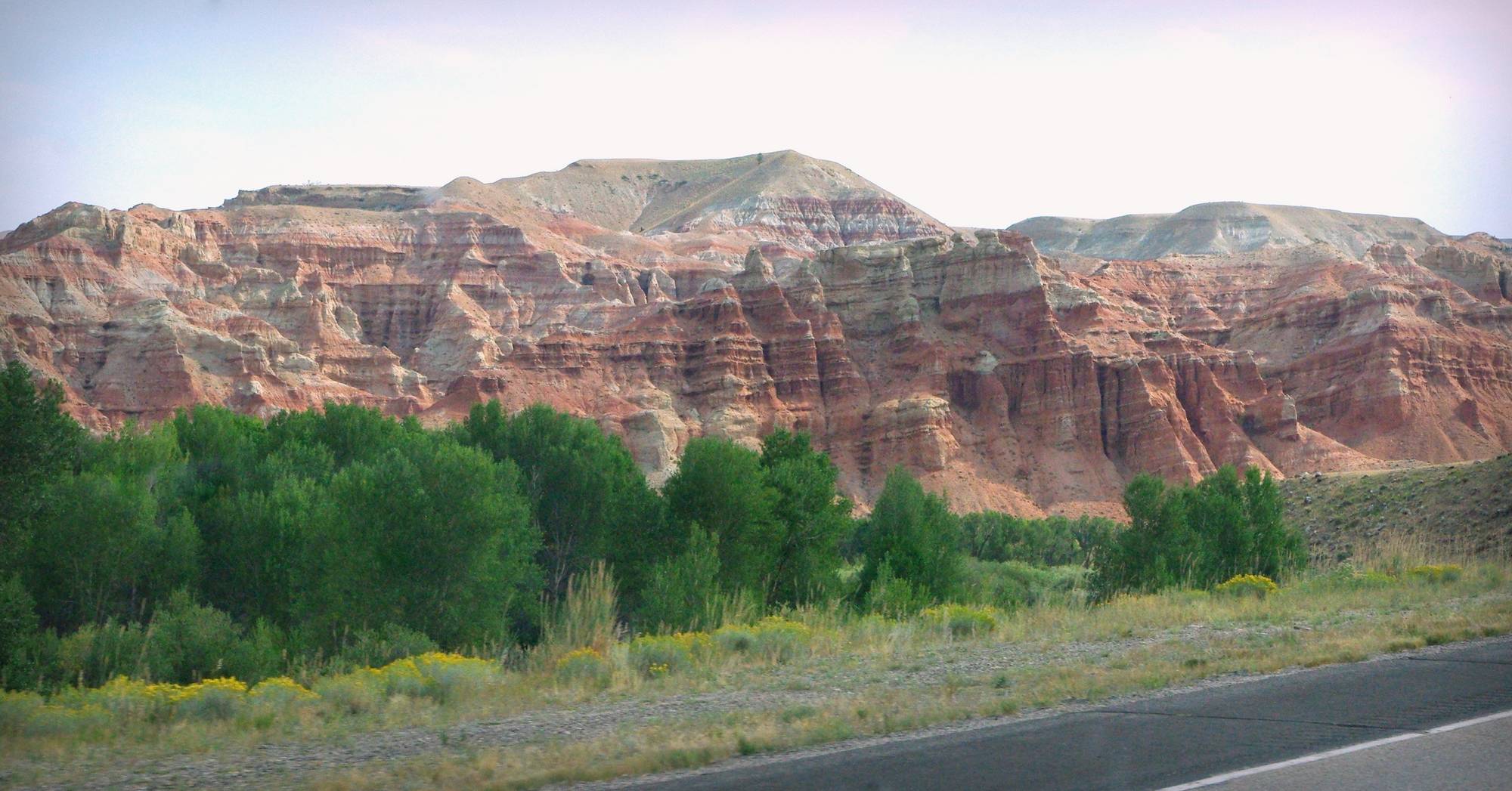
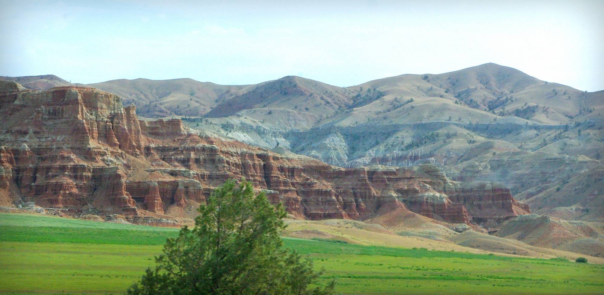
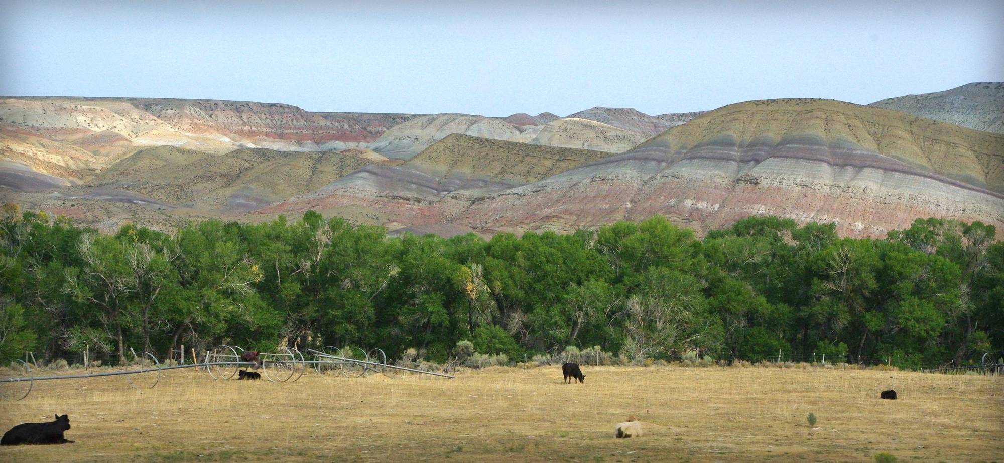
Which eventually gave way to bleak landscape that was even more rugged, but just as beautiful:
You know how highway signs will list a couple of the major towns coming up and the distances to them? On this trip we saw one listed on several signs and when we got to it... population 10. (Or maybe it was 16? Regardless, not the type of town we were hoping for -- we needed a stop!)

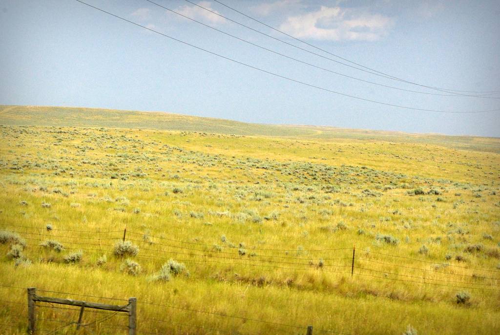
And then grasslands:

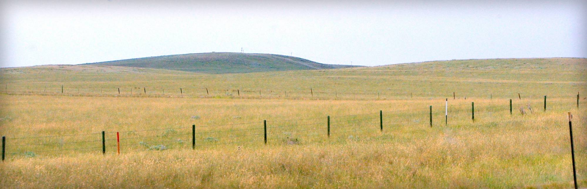
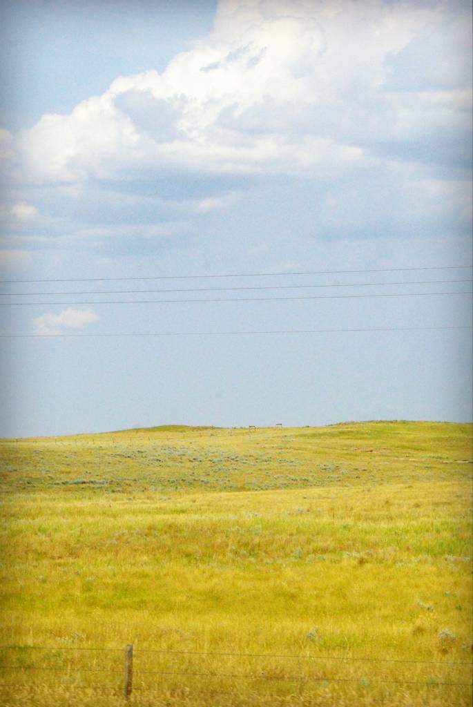
So much grass. Mile after mile after mile.
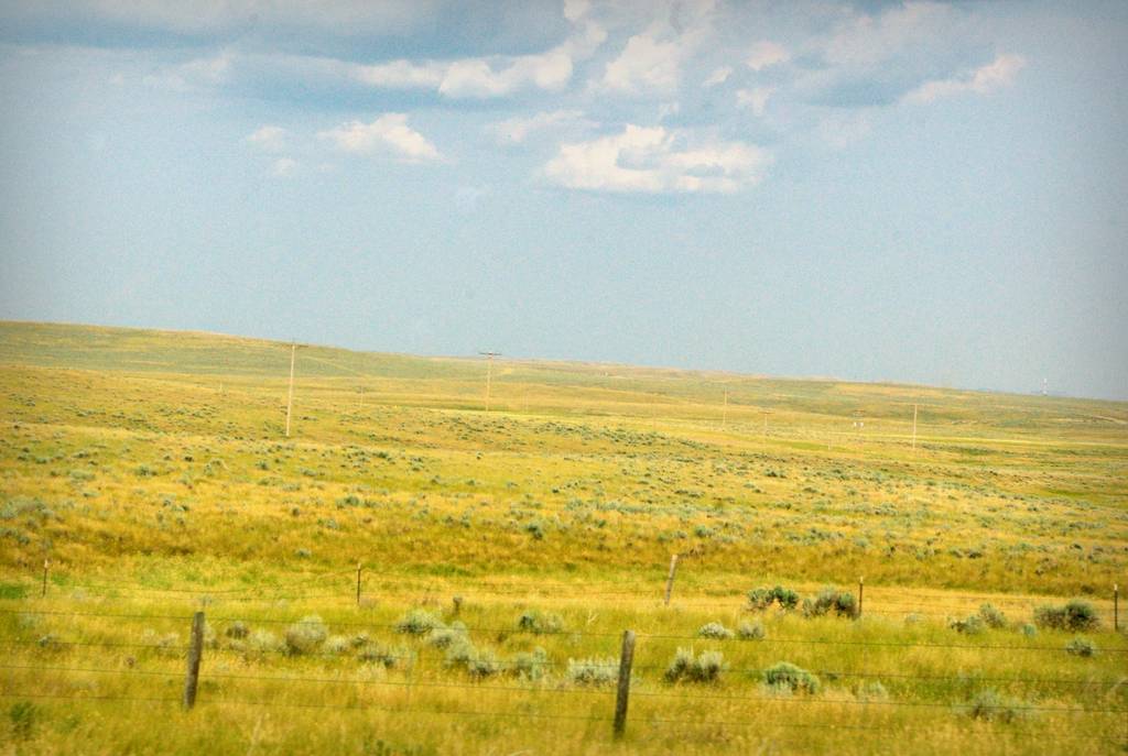
Imagine being an early explorer, walking or riding through this for hundreds of miles. This is not the only state that has extensive grasslands like this either -- there's a reason they're called the "Central Plains States", right? Why are there no bison herds out here?
And then about 100 miles after the previous photo was taken (about 10 hours after leaving this morning), our destination finally came into sight:
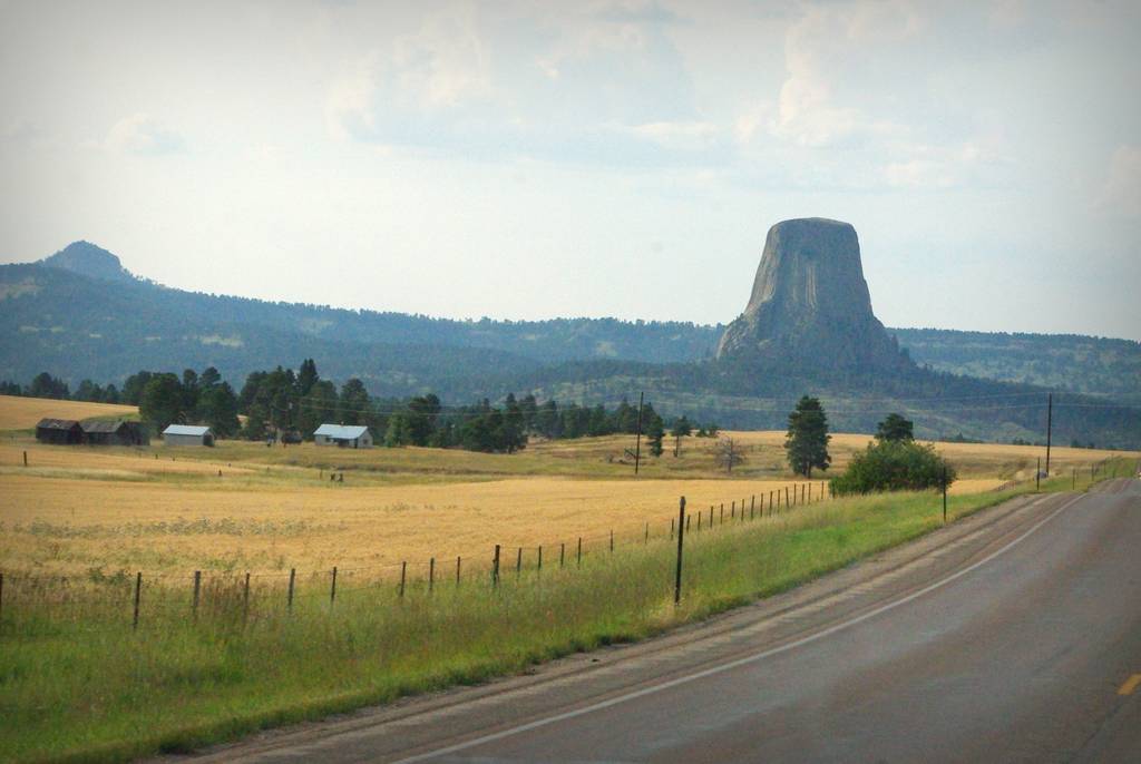
That's my view of central Wyoming. So many colors. So many different terrains. All very beautiful.
Tomorrow: Devil's Tower National Monument.
.


Gorgeous photographs!
The one going down the highway with the red rocks looks like you're going off the edge of the Earth.
Devil's Tower!! I've never been there so I'm glad you went.
The "desolate" hills remind me of Utah. Very beautiful.